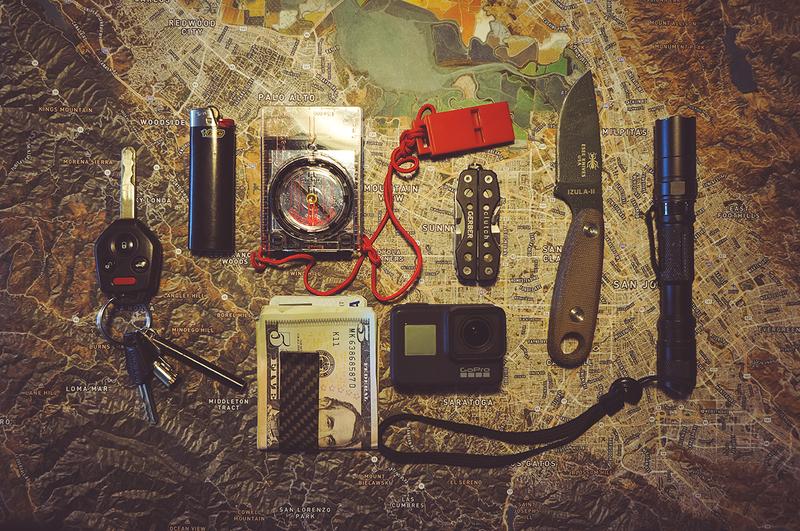
Street data - Dense street labels that maximize information and readability
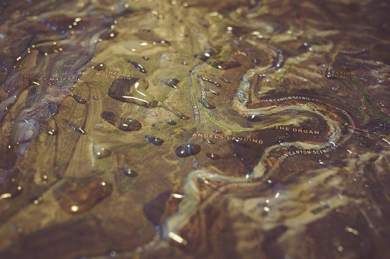
High quality satellite imagery - Printed at 300DPI
3D Topographical shading - Dense street labels that maximize information and readability
Street data - Know that you’re looking at a mountain or valley at a glance
Waterproof
Durable
Approximately 20 mile radius
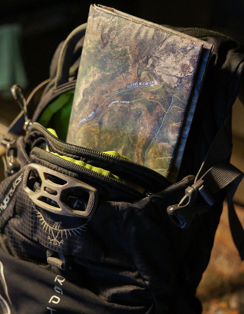
Large 30x20 inch map is about the size of a newspaper.
Can be folded or rolled for storage; also great for hanging on walls
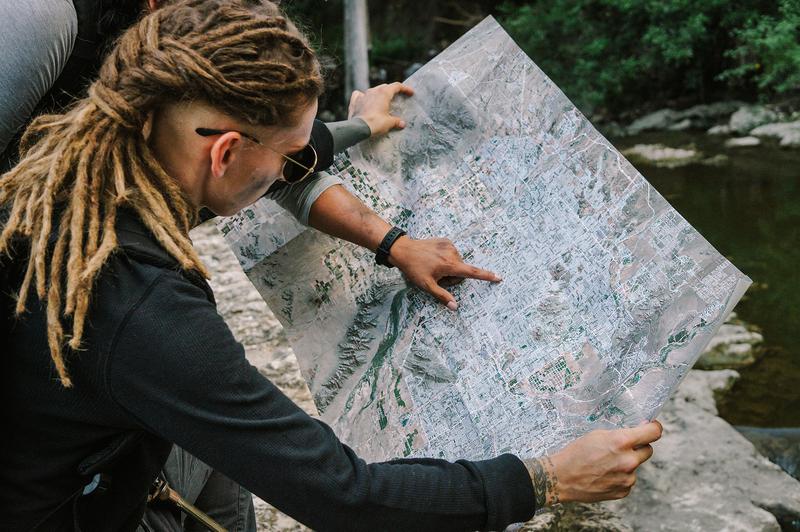
Designed for emergency preparedness, outdoor recreation, and survivalism-related applications
Ideal for car navigation, bug out bags, get home bags.
Dimensions: 30x20 inches / 76x51 cm.
Weight: 1.8oz / 50 grams.
Maps may vary slightly from the images as we are continually updating street and satellite data. They will always cover the same area as represented in the images